GYUV20 hyperspectral UAV remote sensing system successfully applied to fine agricultural remote sensing
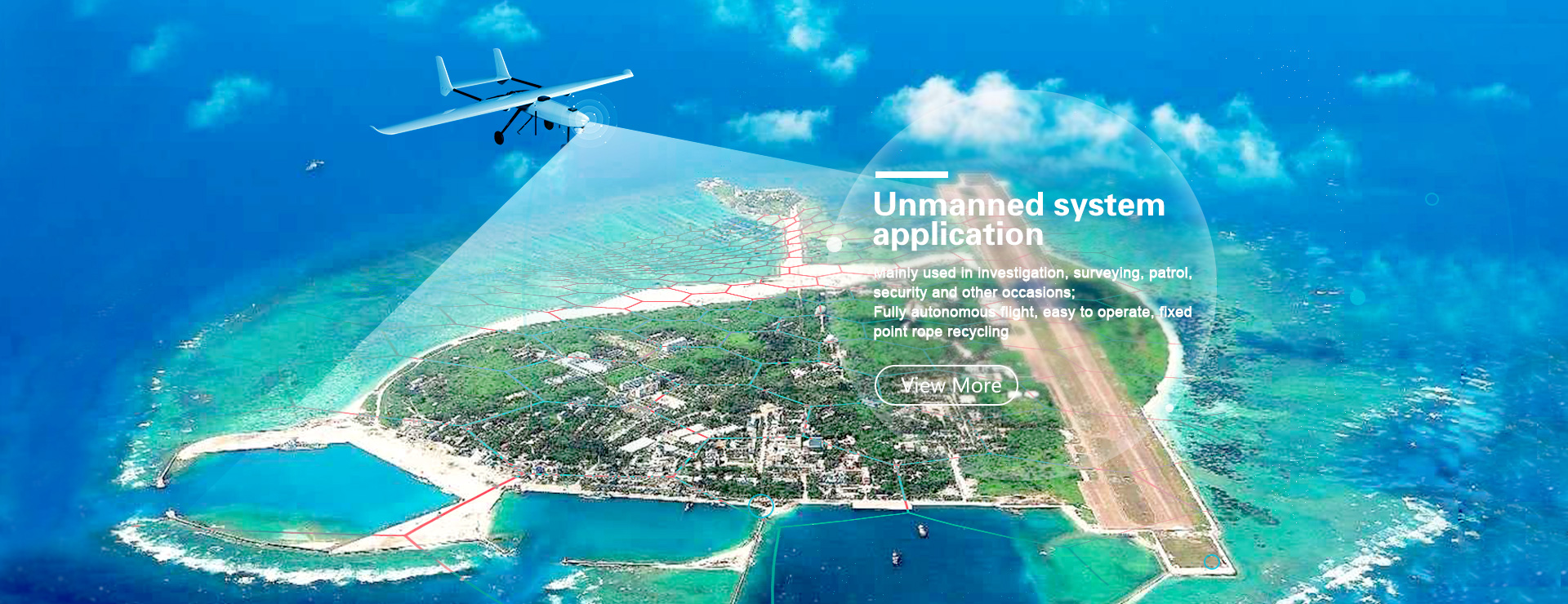
The GYUV20 imaging hyperspectral UAV remote sensing system is equipped with HeadWall VNIR series imaging hyperspectral analyzer, which automatically and accurately prepares accurate and strict flight trajectory for low-altitude remote sensing flight, which can conveniently and accurately obtain surface vegetation, soil in visible light and near Imaging hyperspectral imagery up to 325 channels with 5nm resolution in the infrared. The image pixel resolution can reach the sub-meter level, which can clearly identify and distinguish crops, vegetation areas, and farmland. It provides accurate data support for plant growth monitoring and soil biochemical analysis.
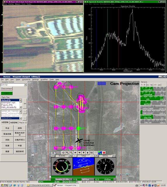
GYUV20 imaging hyperspectral drone remote sensing system applied to water environment monitoring remote sensing
The GYUV20 imaging hyperspectral UAV remote sensing system is equipped with HeadWall VNIR series imaging hyperspectral analyzer, which automatically and accurately prepares accurate and strict flight trajectory for low-altitude remote sensing flight. It can conveniently and accurately obtain water in rivers, lakes and waterways. And high-resolution images of up to 325 channels with 5 nm resolution in the near-infrared band. Image pixel resolution can reach the sub-meter level, which can provide accurate data support for water biochemical analysis and water environment monitoring.


